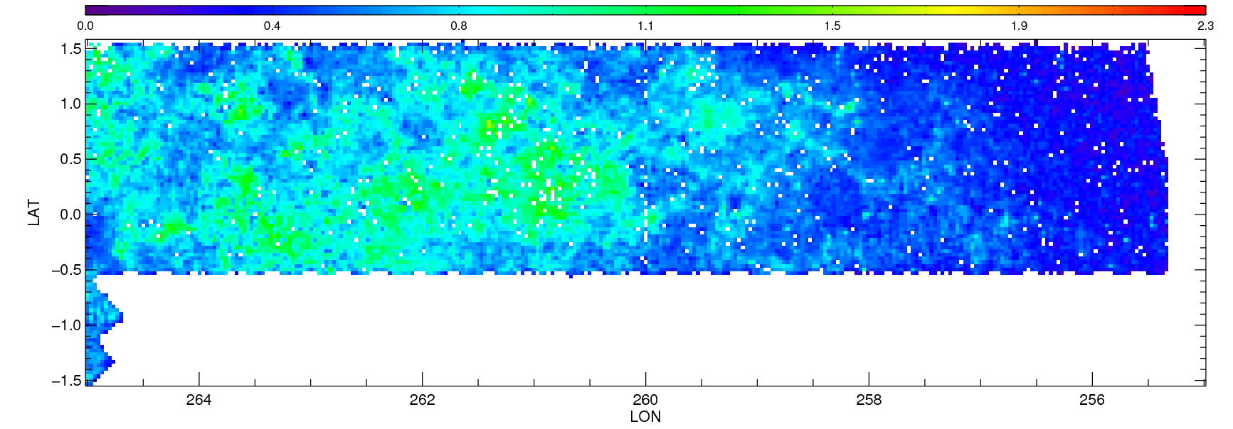
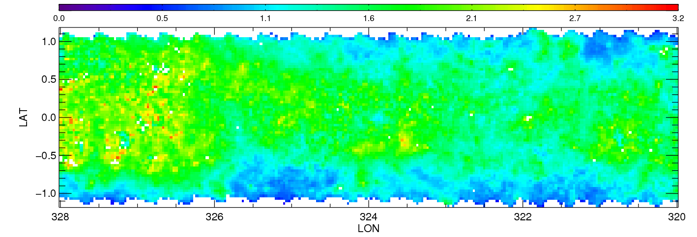
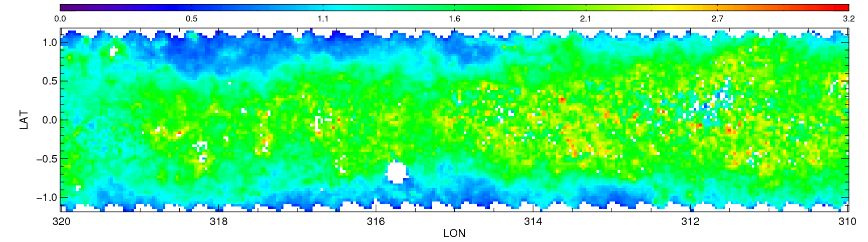
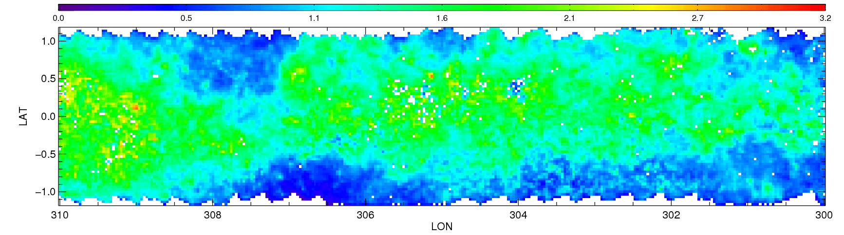
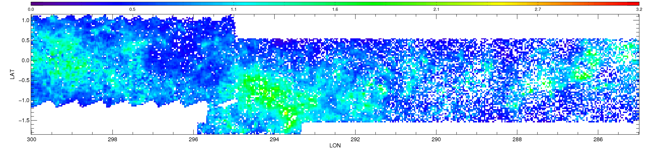
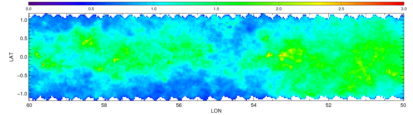
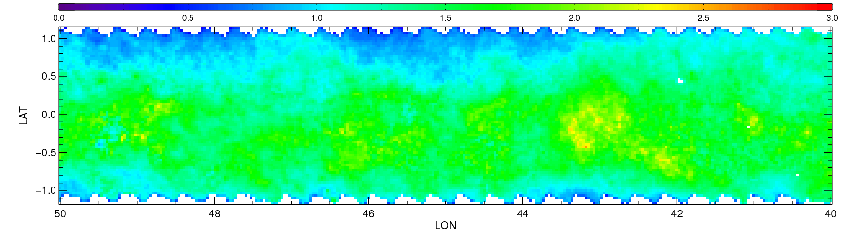
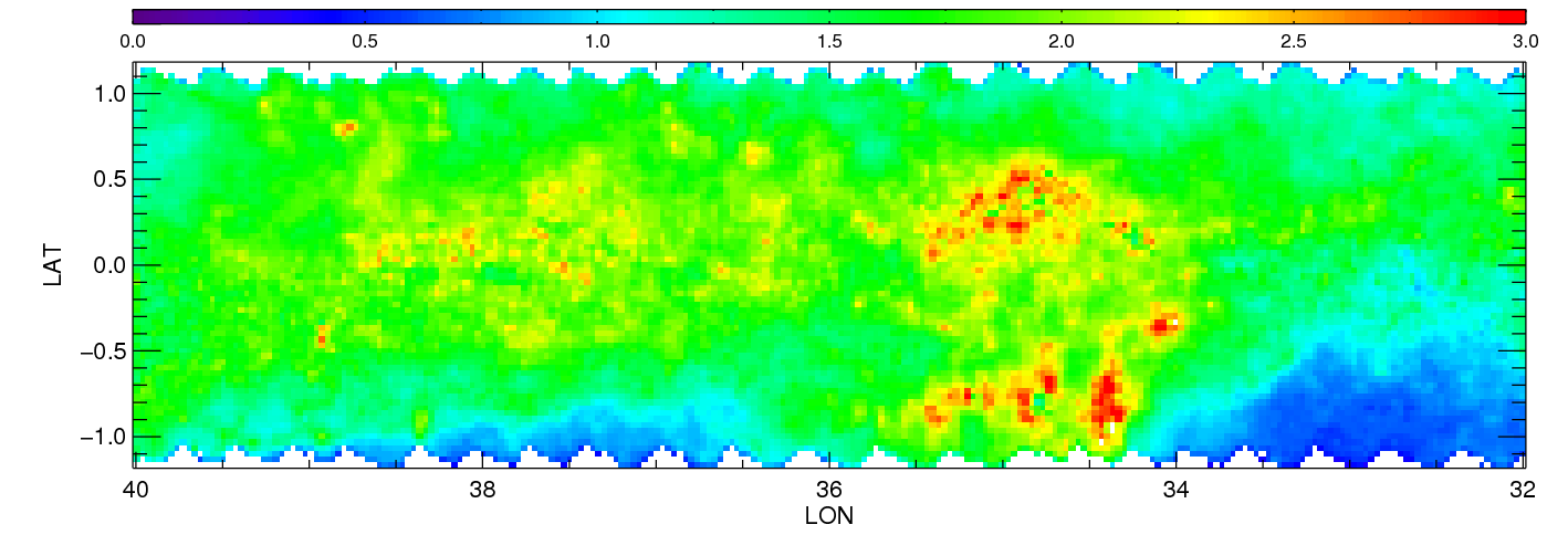
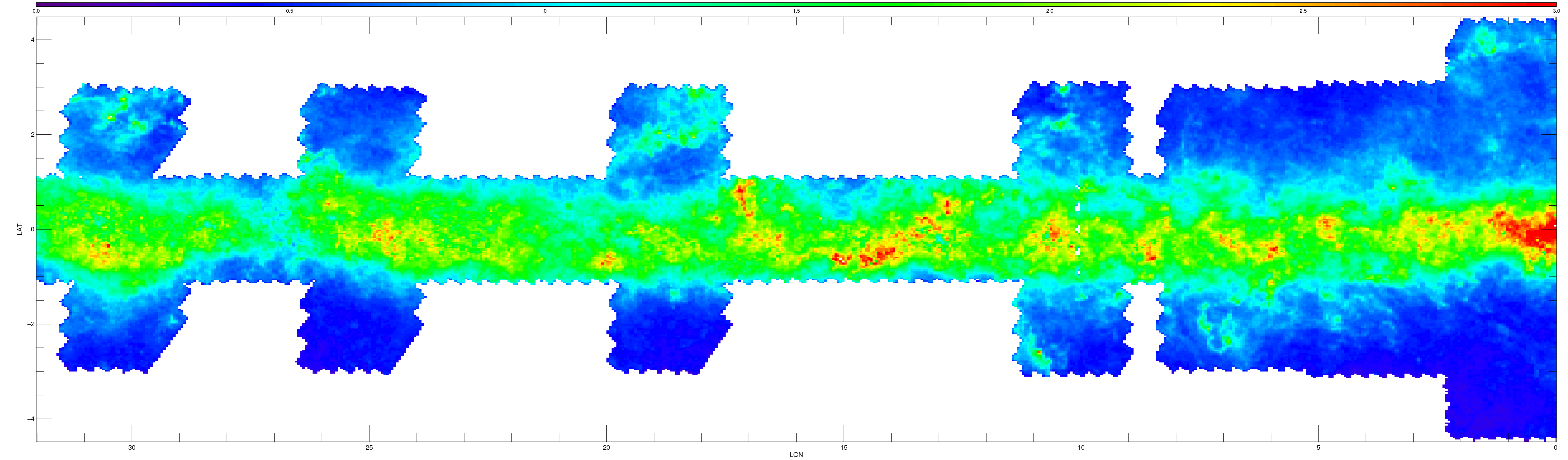
| MSTO - Main Sequence Turn Off | |||||||||||||||
|
|
|
|
|
|
|
|
|
|
|
|
|
|||
| RC - Red Clump | |||||||||||||||
|
|
|
|
|
|
|
|
|
|
|
|
|
|||
| RGB - Red Giant Branch | |||||||||||||||
|
|
|
|
|
|
|
|
|
|
|
|
|
|||
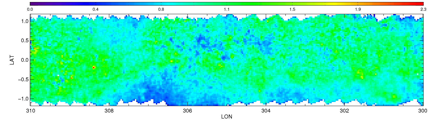
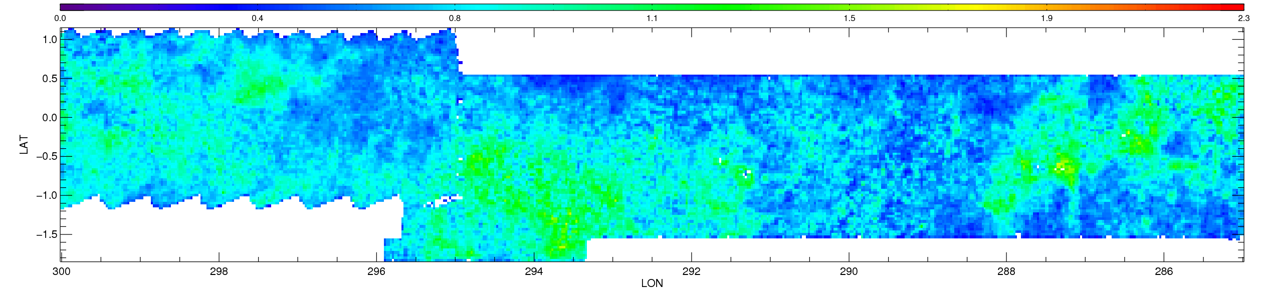
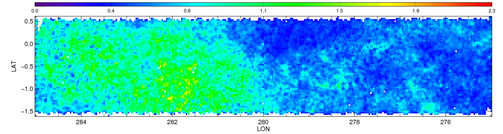
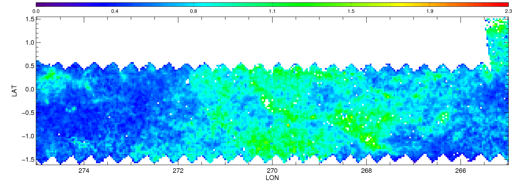
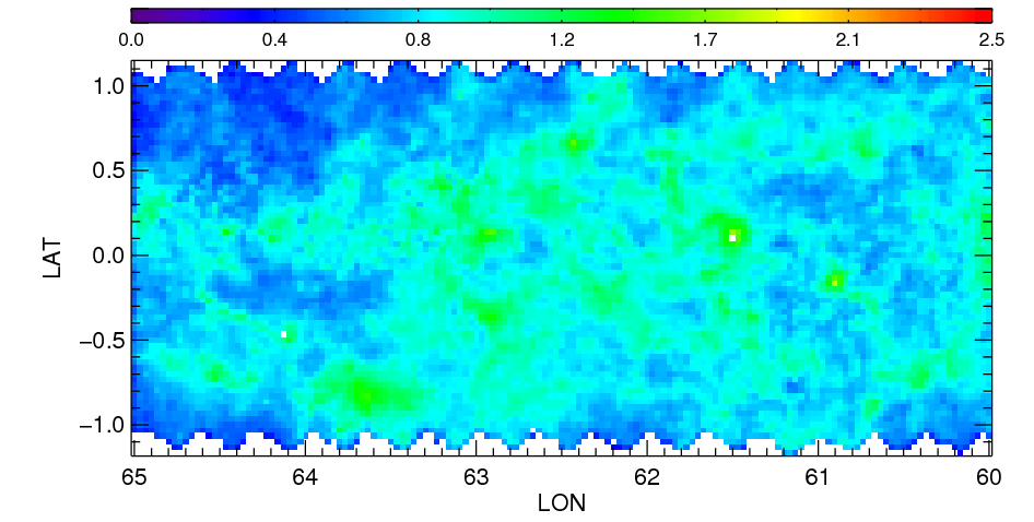
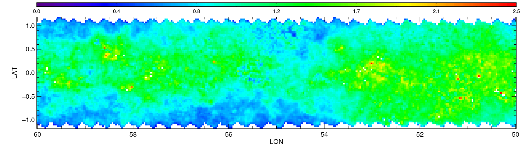
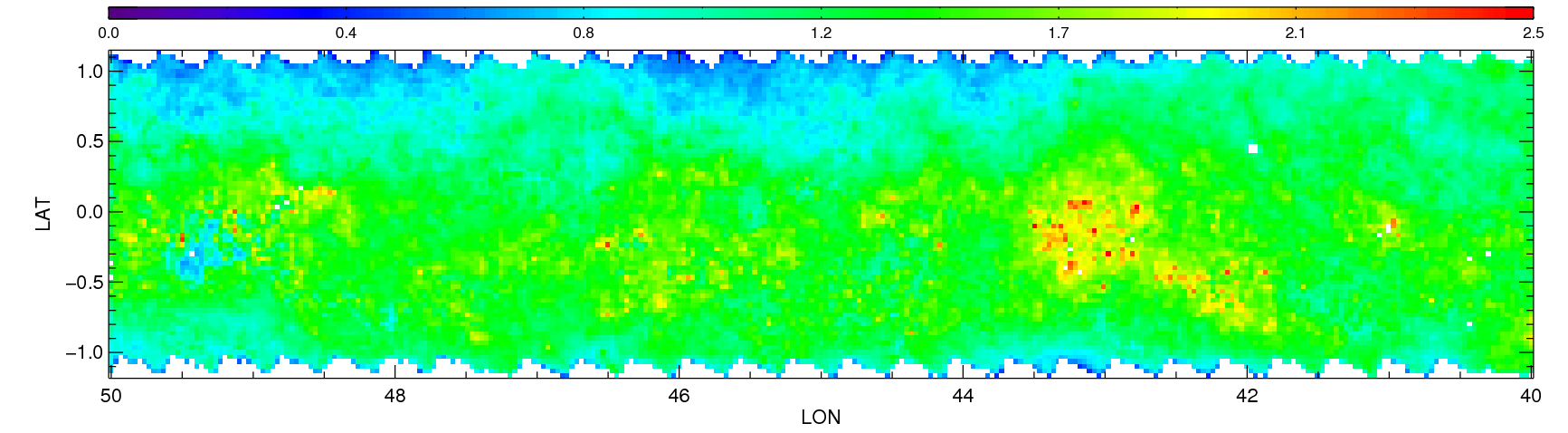
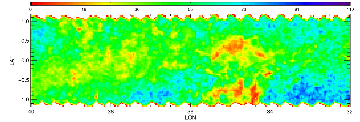
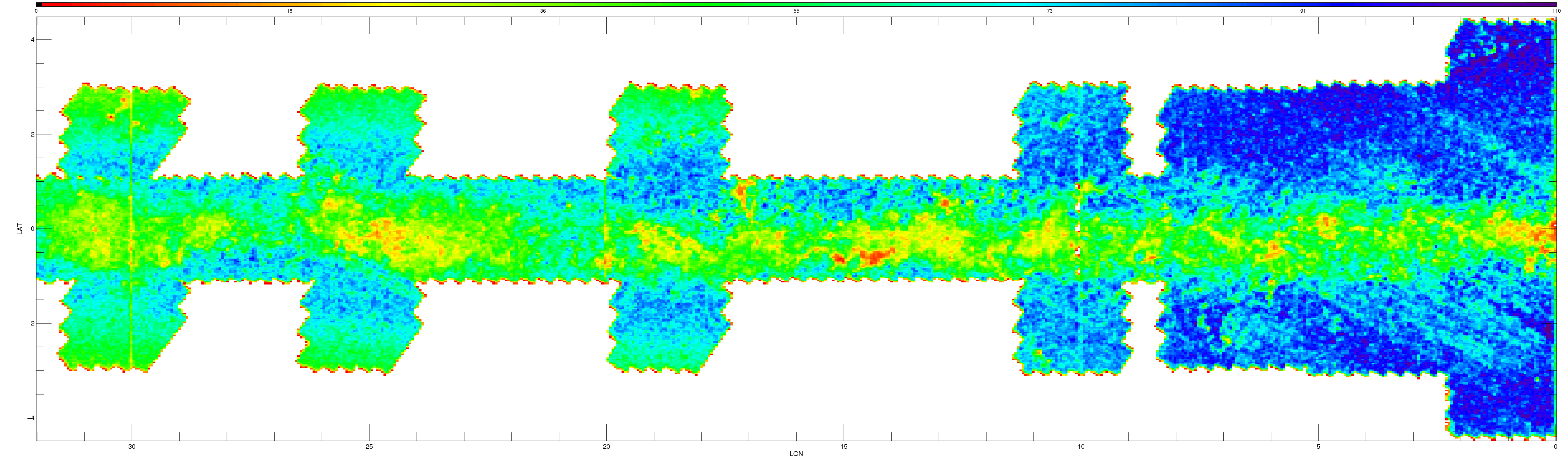
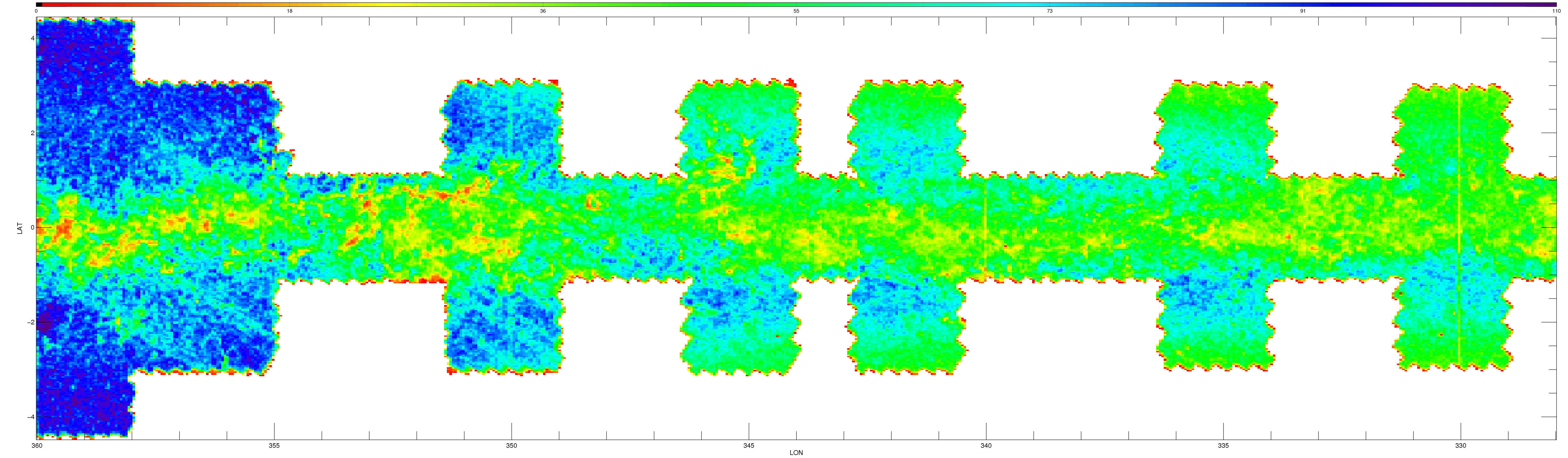
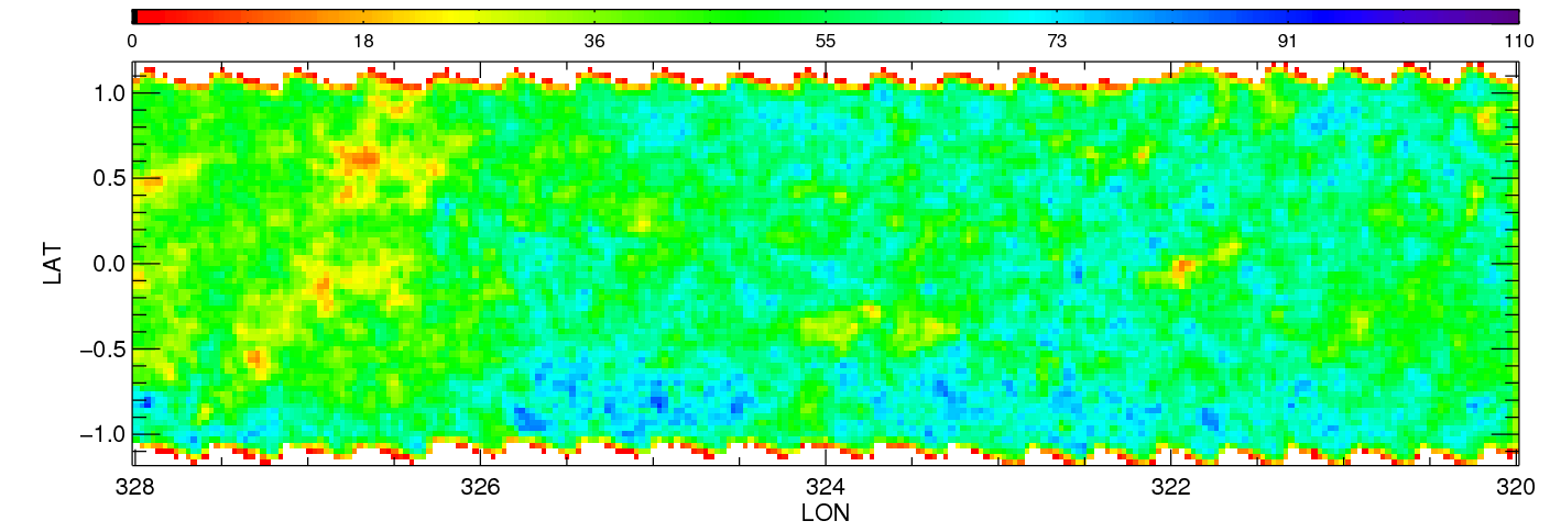
| All stars | |||||||||||||||
|
|
|
|
|
|
|
|
|
|
|
|
|
|||
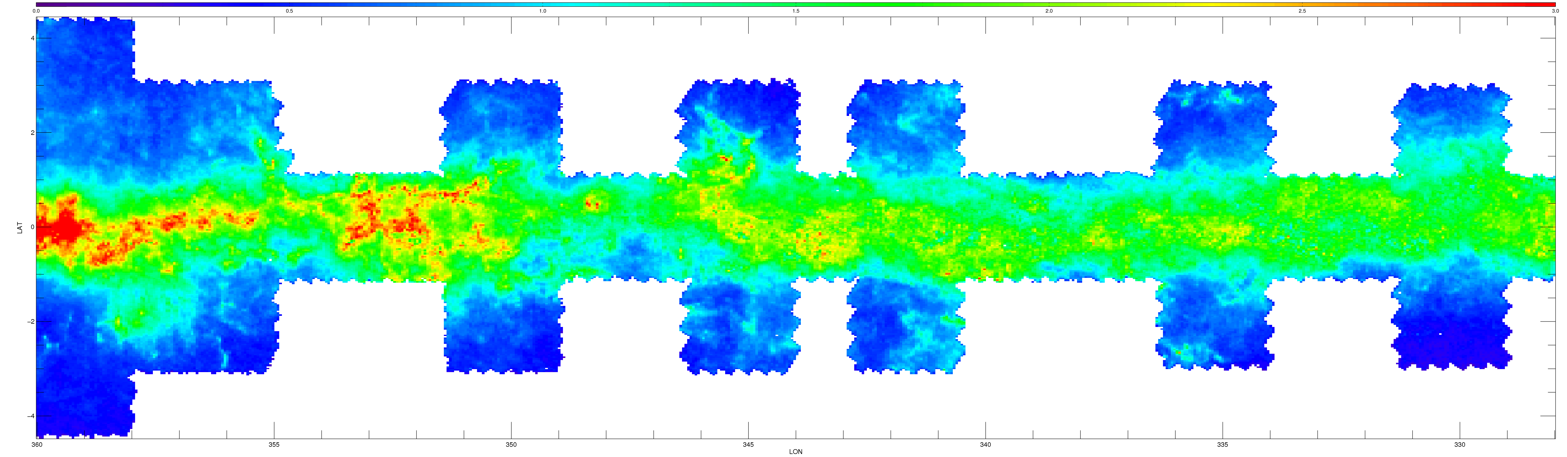
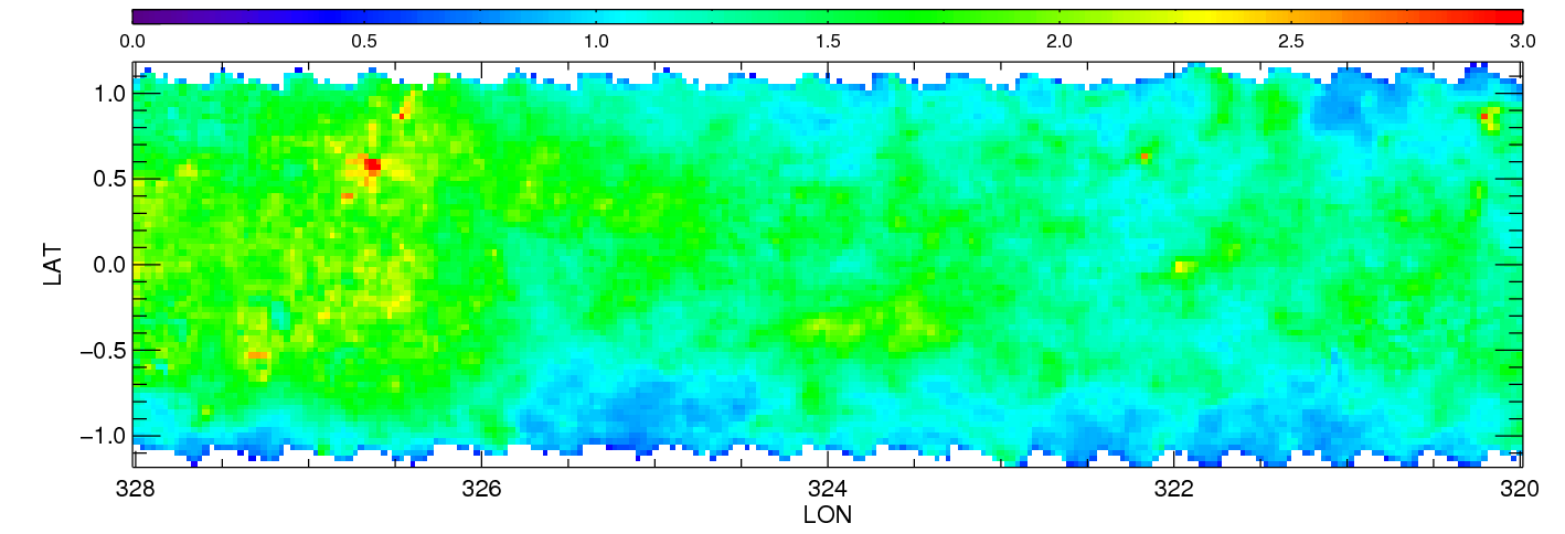
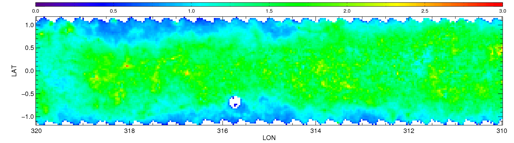
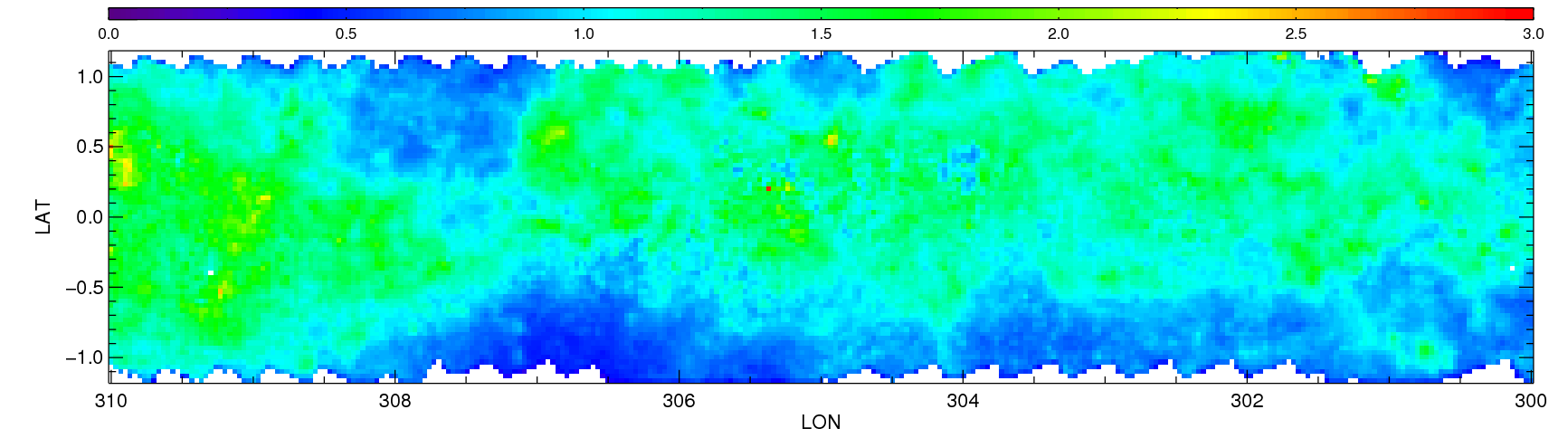
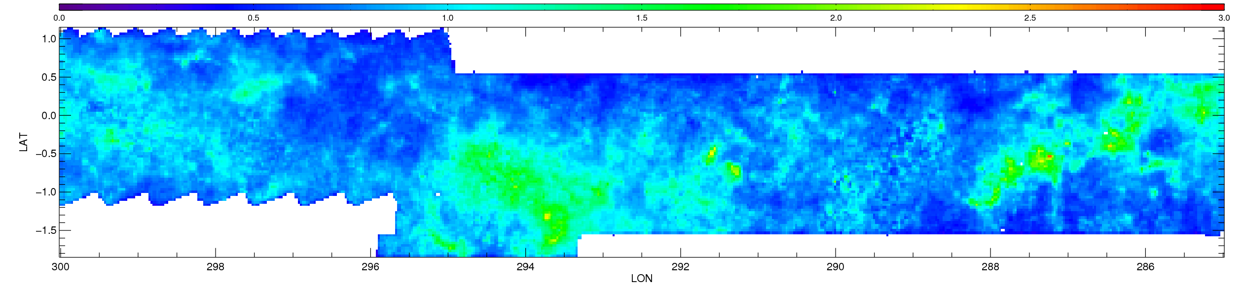
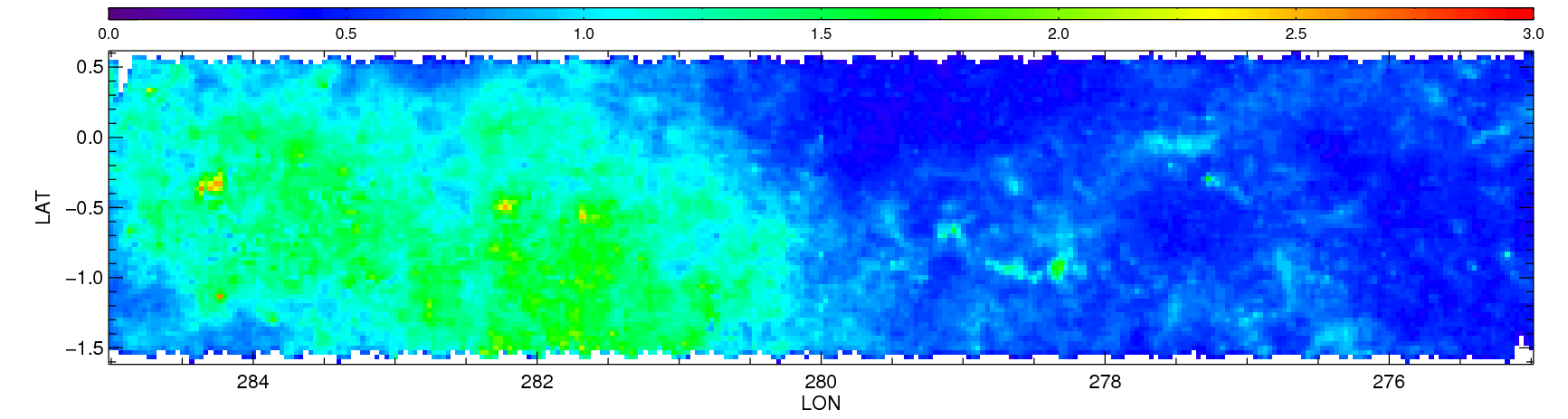
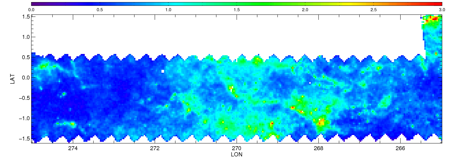
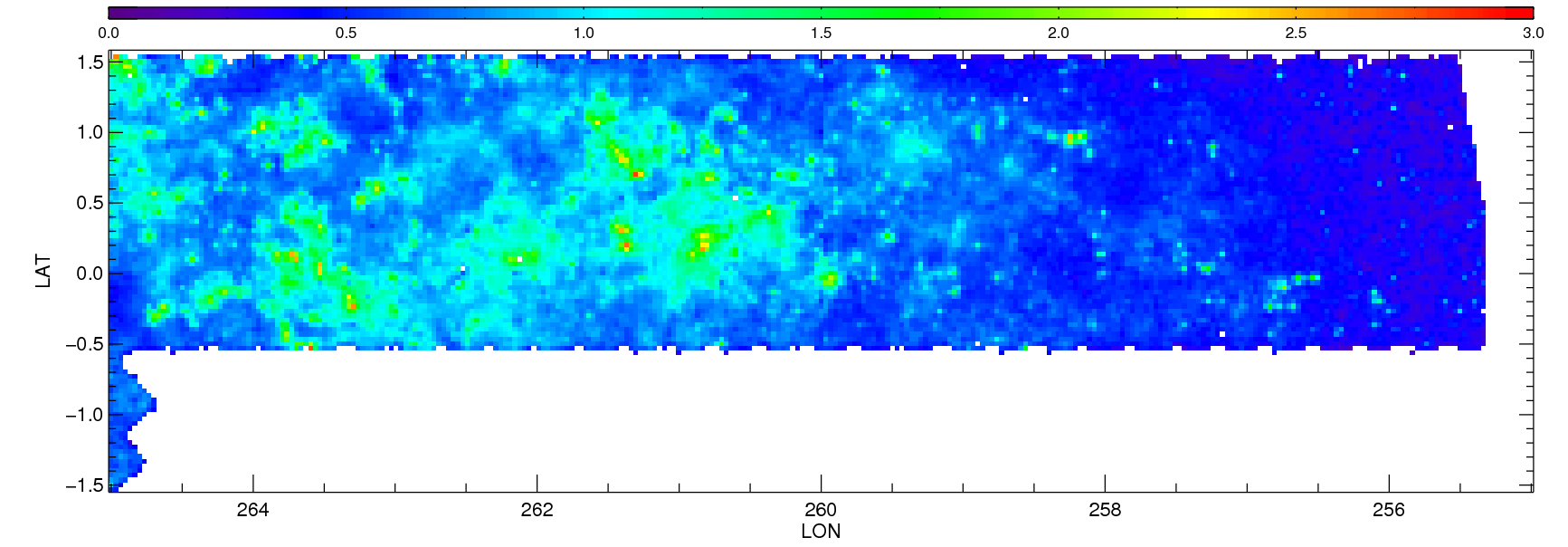
| All stars - [3.6]-[4.5] derived extinctions | |||||||||||||||
|
|
|
|
|
|
|
|
|
|
|
|
|
|||
| Starcounts (all stars) | |||||||||||||||
|
|
|
|
|
|
|
|
|
|
|
|
|
|||